Soil is at the root of everything we grow
Make it the foundation of your precision ag efforts
1. Soil Matters
Soils are not simply where a farmer plants their seed. Soil fundamental to life on earth. In order to continue to feed the fast-growing population sustainably, there is an urgent need to generate accurate, up-to-date soil health information to support agricultural development, environmental sustainability and fight climate change.
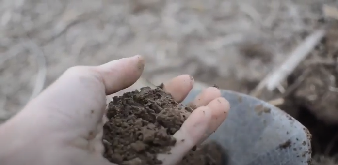
2. Soil Variability Matters
The number one driver of yield is soil.
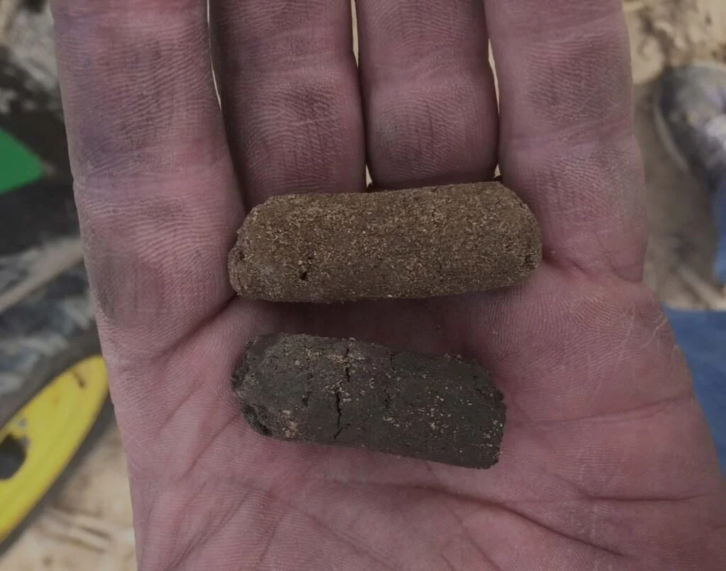
The challenge is, soil changes significantly across farm fields and traditional sampling and mapping methods miss or misrepresent those underlying soil properties.
New technology enables growers, agronomists and researchers to measure and map the yield driving soil characteristics at an ultra high-resolution.
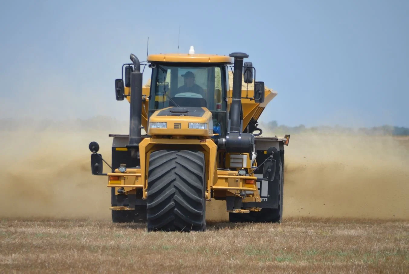
3. Missed Variability is Missed Profitability
You can’t manage what you don’t measure. And if there are mistakes in how we measure or map soil, then we create costly mistakes with our fertilizer, seed, and irrigation recommendations.
It pays to accurately map soil variations.
“When people talk about yield potential, they’re really talking about soil potential. It all comes back to the soil.
Justin Welch,
Syngenta Digital Commercial Lead
“There are areas in most fields that have 100 lbs of free nitrogen coming from the organic matter and a few feet away sandy soils that produce very little N and have a hard time holding what’s applied. It’s foolish and short-sighted to treat those the same.”
Josh Glendenning,
SoilWerx, Illinois
“75% of the fields we’ve Veris-mapped have needed less lime than was found in grid-sampling.”
Kevin Jeurissen
Crystal Valley Coop, Minnesota
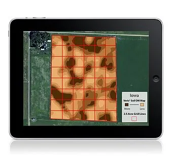
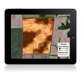
How do soil sensor maps compare
to other options?
Grid Sampling Misses Variability University research has confirmed that pH and other properties often change significantly within the distance between grid points
Government Soil Survey Maps Mistake Soils Multi-state studies found using a USDA SSURGO map for variable rate seeding prescriptions could cost a grower $23.10/ac compared to the accuracy of a sensor based map.
“It’s kind of revolutionary; the last fifteen years has been mostly grid sampling, but once farmers see the EC zone concept they want to change to it.”
Andy Moore
Wade Inc. –
John Deere Dealer, Mississippi
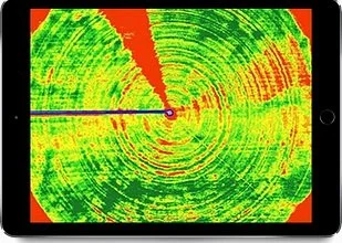
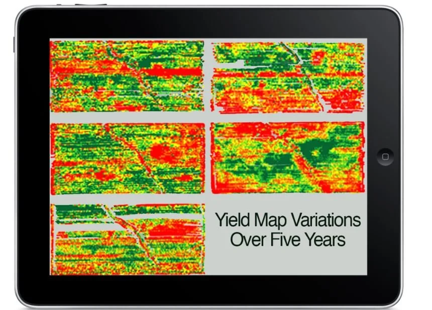
Remote Imagery and Yield Maps can be helpful tools for identifying in-season issues and benchmarking practices, but because they show the effects of machine malfunctions, mother nature and management differences, they are not a consistent and reliable map of soil variations.
“Our competitors are using imagery for their zones, but when you get right into the soil it makes a big difference. Veris maps have really taken a hold down here.”
Ryan Strong
Wilbur-Ellis, High Plains